Record SL-864673 · Wikidata Q6430221
Mount Matin
No list classifications
Elevation
2,385
m
7,825 ft
Prominence
1,427 m
Isolation
—
Coordinates
65.1363° S,
63.6304° W
Grid ref
—
Description
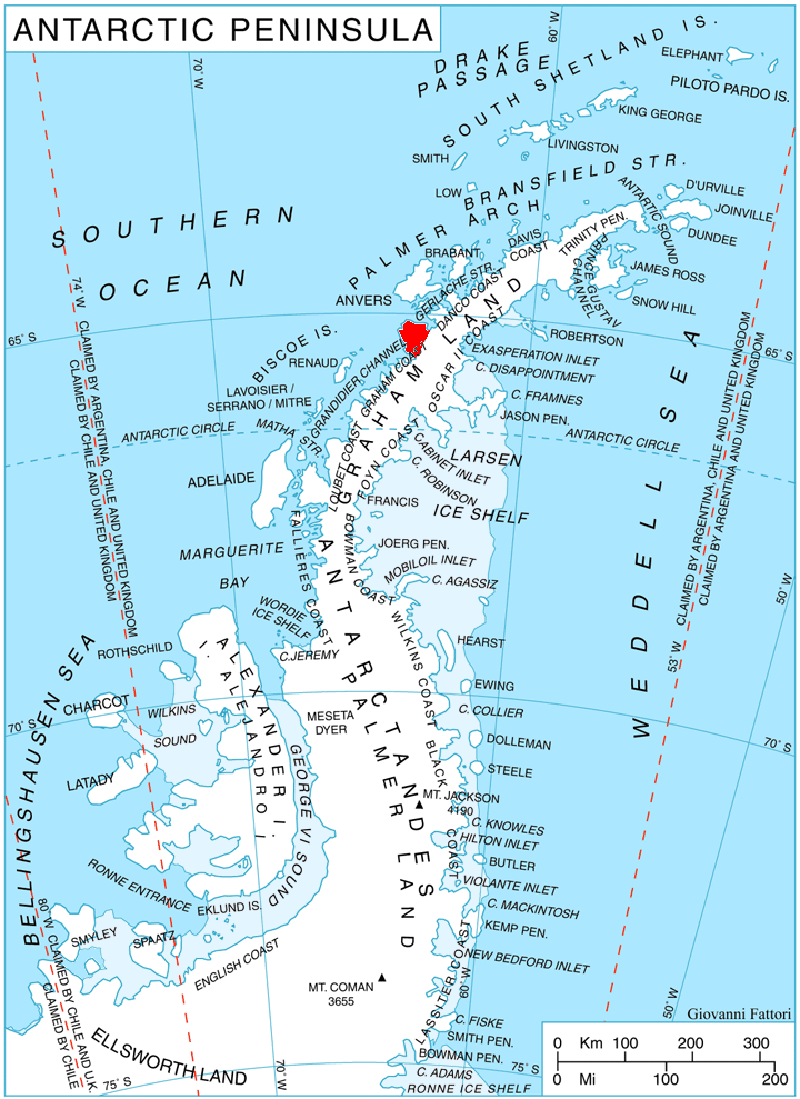
WikipediaMount Matin is a massive, mainly snow-covered mountain which surmounts the mountainous divide north of Hotine Glacier on Kyiv Peninsula, on the west side of Graham Land, Antarctica. It was first charted by the French Antarctic Expedition, 1903–05, led by Jean-Baptiste Charcot, who named it after the newspaper Le Matin contributed generously to the cost of the expedition. Mount Matin was climbed and descended on ski on December 5, 2010 via the south-west ridge by Phil Wickens, Derek Buckle, Mike Fletcher, Dave Wynne-Jones and Richmond MacIntyre of the 2010 Alpine Club Antarctic Expedition, who found the summit to be at 2,415 metres (7,920 ft).
Best months
Hiking score 0–100 · 10-yr climate averagesRows beneath each bar: mean temperature, monthly precipitation. Highest-scoring month in red.