Record SL-866852 · Wikidata Q6920681
Mount Estes
No list classifications
Elevation
600
m
1,969 ft
Prominence
—
Isolation
—
Coordinates
78.2667° S,
166.3000° E
Grid ref
—
Description
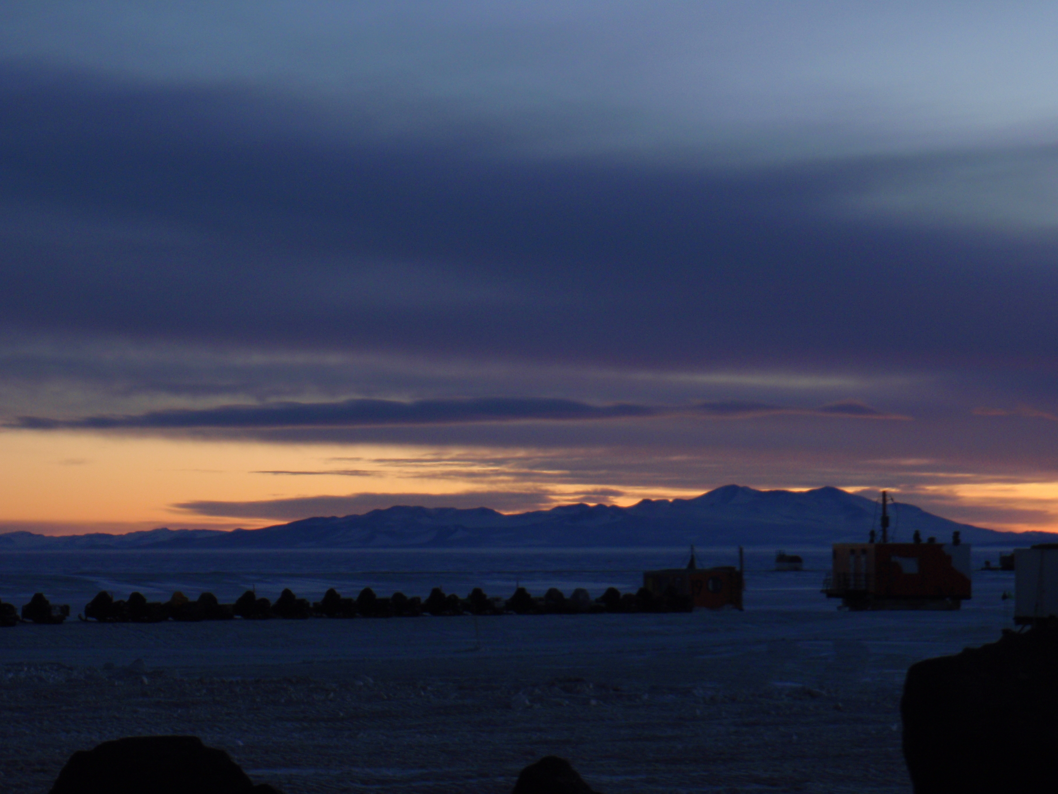
WikipediaBlack Island (78°12′S 166°25′E) is an island in the Ross Archipelago. It is 12 nautical miles (22 km; 14 mi) long and projects through the Ross Ice Shelf to a height of 1,040 metres (3,410 ft). It was discovered by the British National Antarctic Expedition (Discovery Expedition, 1901–04), which named it for its appearance. The island is largely ice-free and primarily composed of black volcanic rock. The island's northernmost point is named Cape Hodgson, named after Thomas Vere Hodgson, one of the oldest members of the Discovery Expedition.
Best months
Hiking score 0–100 · 10-yr climate averagesRows beneath each bar: mean temperature, monthly precipitation. Highest-scoring month in red.
Neighbouring summits
| Name | Elevation | Bearing | Distance |
|---|---|---|---|
| Mount Aurora | 1,040 m | N 17° | 3.9 km |