Record SL-864550 · Wikidata Q16929793
Mount Davis
No list classifications
Elevation
3,800
m
12,467 ft
Prominence
—
Isolation
—
Coordinates
78.1000° S,
86.2500° W
Grid ref
—
Description
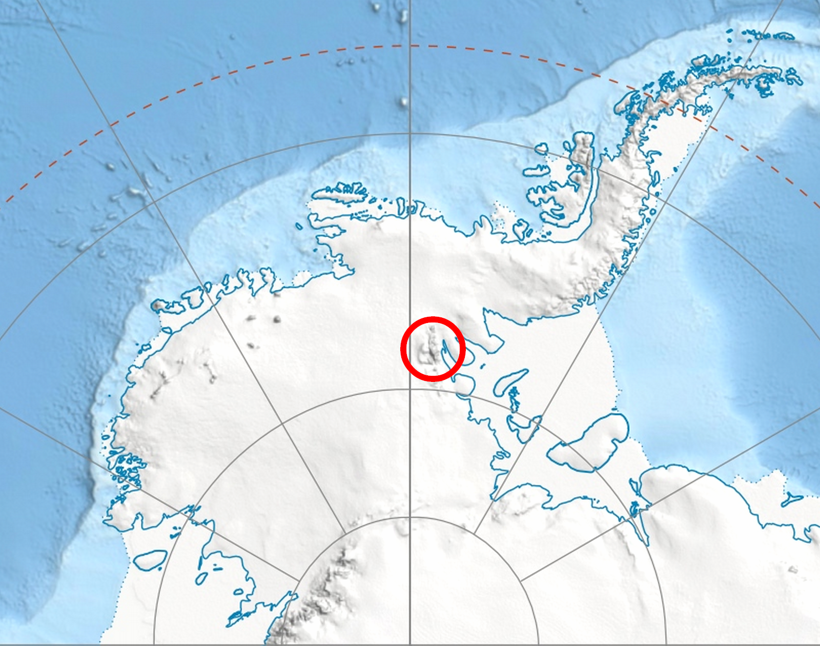
WikipediaMount Davis (78°06′S 86°15′W) is a mountain located 1.6 km north of Mount Bentley and 2.4 km southeast of Mount Hale in the Sentinel Range, Antarctica. Discovered by the Marie Byrd Land Traverse party of 1957–58, under Charles R. Bentley, and named for Leo E. Davis, geomagnetician and seismologist at Byrd Station in 1957.
Best months
Hiking score 0–100 · 10-yr climate averagesRows beneath each bar: mean temperature, monthly precipitation. Highest-scoring month in red.
Neighbouring summits
| Name | Elevation | Bearing | Distance |
|---|---|---|---|
| Mount Bentley | 4,245 m | S 168° | 1.9 km |
| Mount Hale | 3,546 m | N 338° | 4.0 km |