Record SL-864553 · Wikidata Q16961995
Mount Dalrymple
No list classifications
Elevation
3,600
m
11,811 ft
Prominence
—
Isolation
—
Coordinates
77.9333° S,
86.0500° W
Grid ref
—
Description
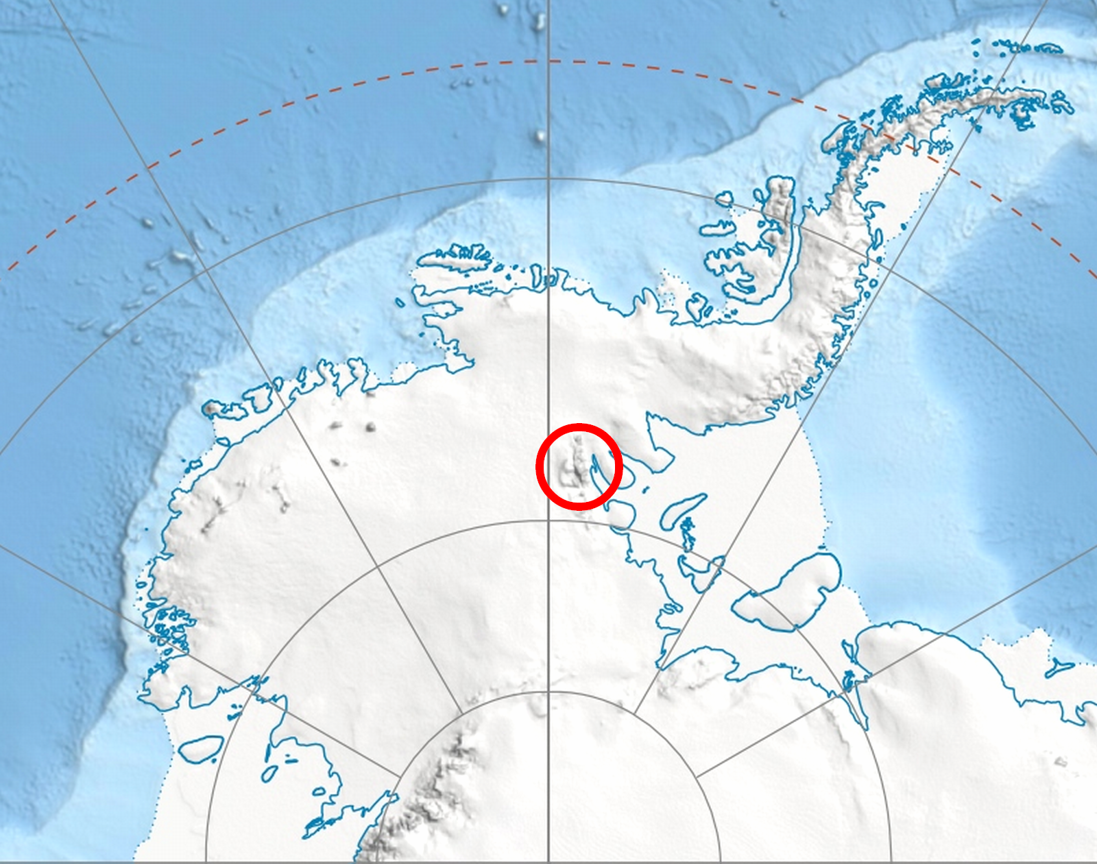
WikipediaMount Dalrymple (77°56′S 86°03′W) is a mountain (3,600 m) between Mount Alf and Mount Goldthwait in the northern part of the Sentinel Range, Antarctica. It surmounts Sabazios Glacier to the north-northeast and Embree Glacier to the southeast. The mountain was mapped by the Marie Byrd Land Traverse party of 1957–58, under Charles R. Bentley, and named by the Advisory Committee on Antarctic Names for Paul C. Dalrymple, meteorologist, member of the wintering party at Little America V in 1957 and the South Pole Station in 1958.
Best months
Hiking score 0–100 · 10-yr climate averagesRows beneath each bar: mean temperature, monthly precipitation. Highest-scoring month in red.
Neighbouring summits
| Name | Elevation | Bearing | Distance |
|---|---|---|---|
| Mount Alf | 3,200 m | NW 320° | 2.4 km |