Record SL-864617 · Wikidata Q6802598
McPherson Peak
No list classifications
Elevation
2,200
m
7,218 ft
Prominence
—
Isolation
—
Coordinates
78.5333° S,
84.7000° W
Grid ref
—
Description
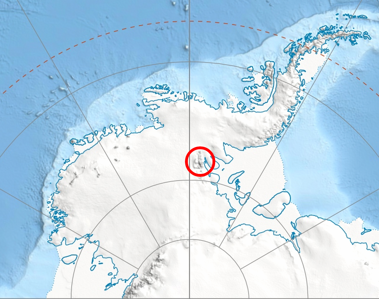
WikipediaMcPherson Peak (78°32′S 84°42′W) is a peak, 2,200 metres (7,200 ft) high, located at the west side of the head of Remington Glacier, in the Doyran Heights of the Sentinel Range in the Ellsworth Mountains, Antarctica. It was first mapped by the United States Geological Survey from surveys and U.S. Navy air photos from 1957 to 1959, and was named by the Advisory Committee on Antarctic Names for William C. McPherson, Jr., a Navy radioman at South Pole Station in 1957.
Best months
Hiking score 0–100 · 10-yr climate averagesRows beneath each bar: mean temperature, monthly precipitation. Highest-scoring month in red.