Record SL-866809 · Wikidata Q6429677
Lens Peak
No list classifications
Elevation
500
m
1,640 ft
Prominence
—
Isolation
—
Coordinates
66.1333° S,
65.4000° W
Grid ref
—
Description
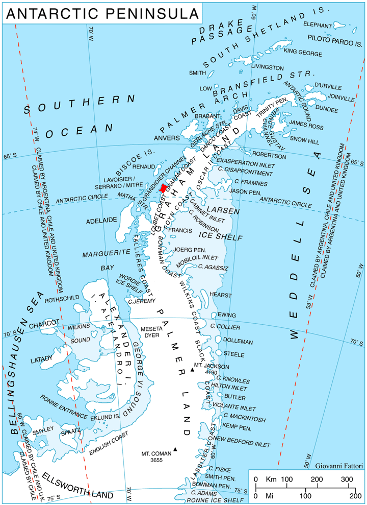
WikipediaLens Peak (66°8′S 65°24′W) is a peak at the south side of Holtedahl Bay just east of Conway Island, on the northeast coast of Stresher Peninsula on the west coast of Graham Land, Antarctica. It was photographed by Hunting Aerosurveys Ltd in 1956–57, and mapped from these photos by the Falkland Islands Dependencies Survey. The peak was named by the UK Antarctic Place-Names Committee in 1960 from association with a group of features in the area commemorating pioneers of research on snow blindness and the design of snow goggles.
Best months
Hiking score 0–100 · 10-yr climate averagesRows beneath each bar: mean temperature, monthly precipitation. Highest-scoring month in red.