Record SL-866022 · Wikidata Q5651214
Hanson Peak
No list classifications
Elevation
1,255
m
4,117 ft
Prominence
—
Isolation
—
Coordinates
71.3500° S,
170.3000° E
Grid ref
—
Description
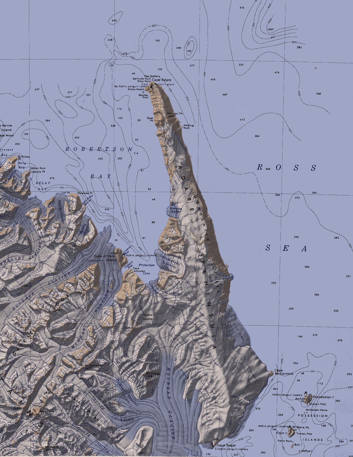
WikipediaThe Adare Peninsula (71°40′S 170°30′E), is a high ice-covered peninsula, 40 nautical miles (74 km; 46 mi) long, in the northeast part of Victoria Land, extending south from Cape Adare to Cape Roget. The peninsula was named by the New Zealand Antarctic Place-Names Committee (NZ-APC) for Cape Adare. The peninsula is considered the southernmost point of the Borchgrevink Coast, named for Carsten Borchgrevink (1864-1934).
Best months
Hiking score 0–100 · 10-yr climate averagesRows beneath each bar: mean temperature, monthly precipitation. Highest-scoring month in red.