Record SL-864469 · Wikidata Q5565983
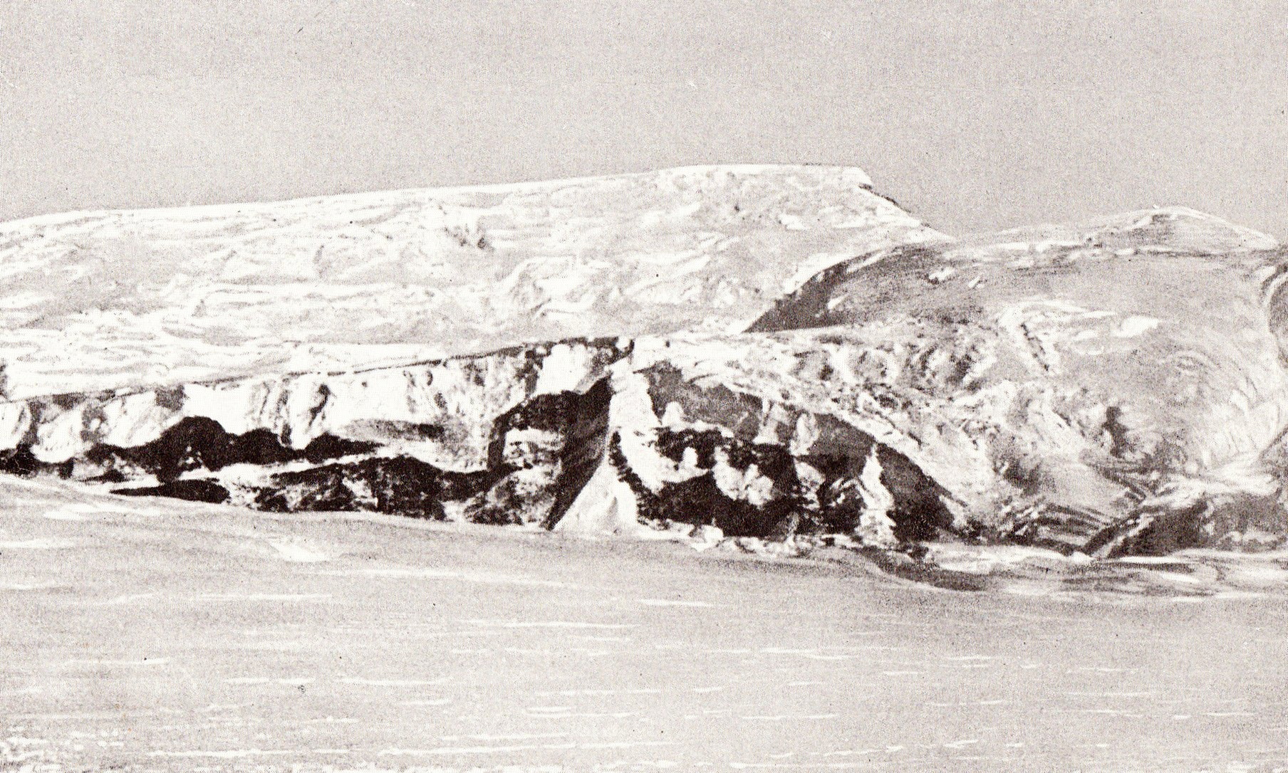
Gjelsvik Peak
No list classifications
Elevation
3,660
m
12,008 ft
Prominence
—
Isolation
—
Coordinates
85.3167° S,
168.0000° W
Grid ref
—
Description
WikipediaThe Herbert Range (85°22′S 165°30′W) is a range in the Queen Maud Mountains of Antarctica, extending from the edge of the Antarctic Plateau to the Ross Ice Shelf between the Axel Heiberg Glacier and Strom Glacier. Named by the New Zealand Antarctic Place-Names Committee (NZ-APC) for Walter W. Herbert, leader of the Southern Party of the New Zealand GSAE (1961–62) which explored the Axel Heiberg Glacier area.
Best months
Hiking score 0–100 · 10-yr climate averagesRows beneath each bar: mean temperature, monthly precipitation. Highest-scoring month in red.