Record SL-865939 · Wikidata Q5521746
Gap Nunatak
No list classifications
Elevation
1,030
m
3,379 ft
Prominence
—
Isolation
—
Coordinates
67.9000° S,
62.4833° E
Grid ref
—
Description
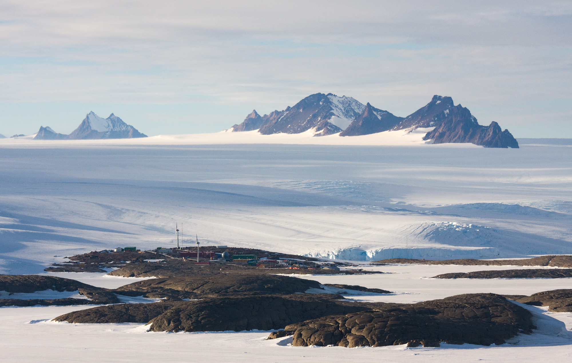
WikipediaThe David Range (67°54′S 62°30′E is a mountain range that extends for 26 kilometres (16 mi) in the Framnes Mountains of Mac.Robertson Land in Antarctica. The range is surrounded by, and largely covered by, an ice sheet. Only the peaks are visible.
Best months
Hiking score 0–100 · 10-yr climate averagesRows beneath each bar: mean temperature, monthly precipitation. Highest-scoring month in red.
Neighbouring summits
| Name | Elevation | Bearing | Distance |
|---|---|---|---|
| Mount Hordern | 1,510 m | S 180° | 3.7 km |
| Mount Coates | 1,280 m | N 21° | 4.0 km |