Record SL-866771 · Wikidata Q5268078
Dewar Nunatak
No list classifications
Elevation
520
m
1,706 ft
Prominence
—
Isolation
—
Coordinates
67.3333° S,
68.2500° W
Grid ref
—
Description
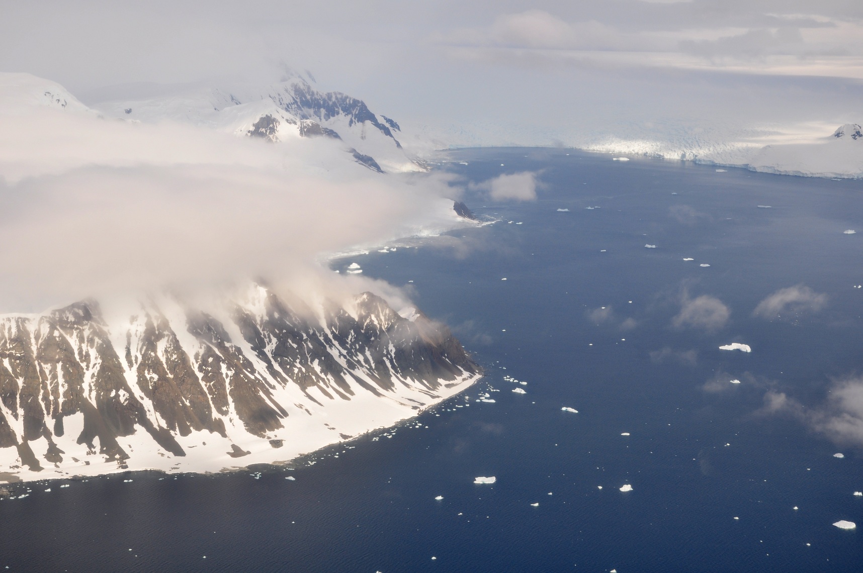
WikipediaDewar Nunatak (67°20′S 68°15′W) is a mainly snow-covered nunatak rising to 520 metres (1,700 ft) in the middle of Shambles Glacier, on the east coast of Adelaide Island. It was named by the UK Antarctic Place-Names Committee in 1963 for Graham J.A. Dewar, a British Antarctic Survey geologist at Adelaide station, 1961–63.
Best months
Hiking score 0–100 · 10-yr climate averagesRows beneath each bar: mean temperature, monthly precipitation. Highest-scoring month in red.