Record SL-865862 · Wikidata Q16858971
Chaplin Peak
No list classifications
Elevation
1,978
m
6,490 ft
Prominence
—
Isolation
—
Coordinates
78.7008° S,
85.4586° W
Grid ref
—
Description
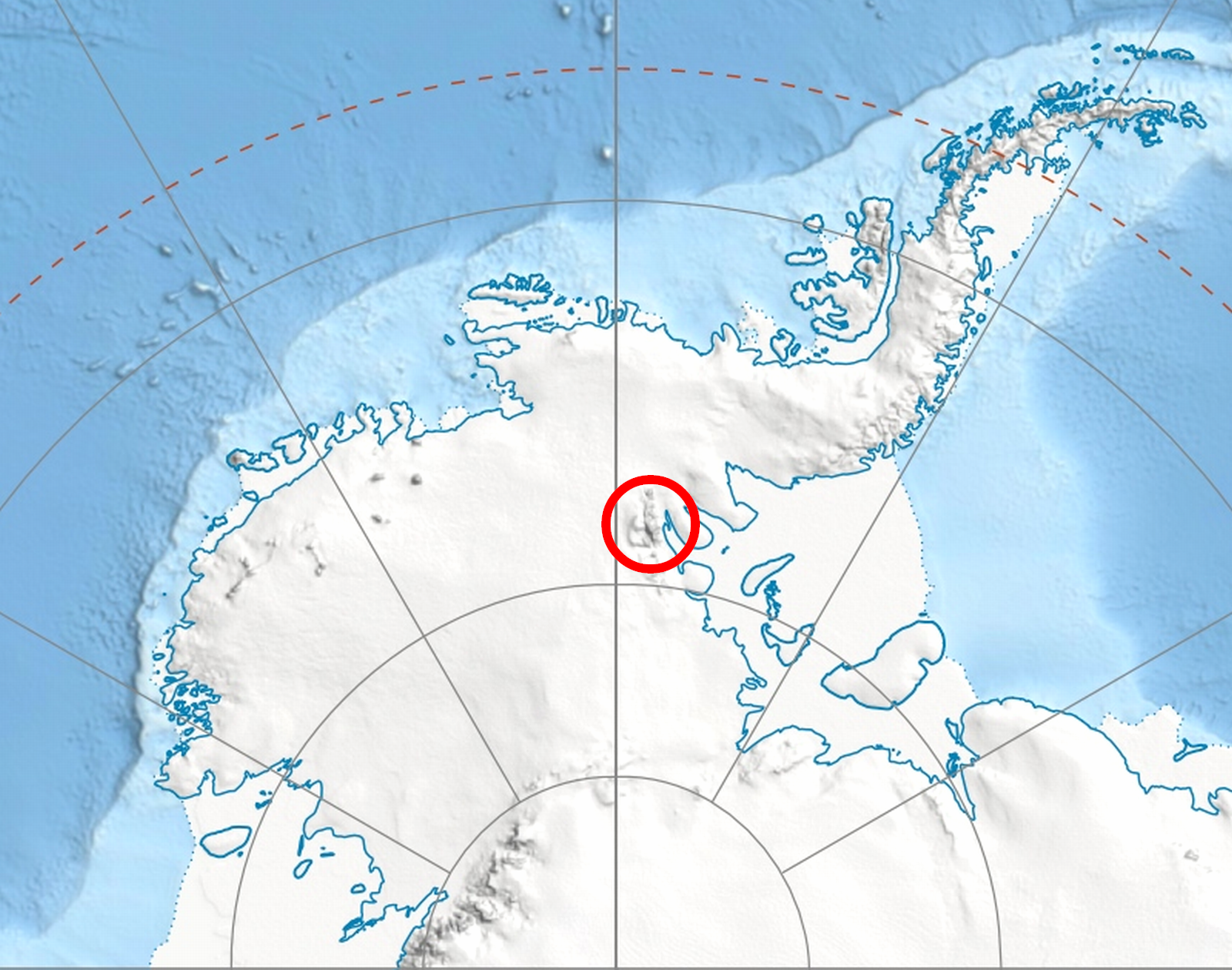
WikipediaChaplin Peak (78°42′03″S 85°27′31″W) is the peak rising to 1978 m on the west side of Bender Glacier, 5 mi southwest of Mount Craddock and 1.3 miles north of Gilbert Spur in the Sentinel Range of Ellsworth Mountains, Antarctica. Surmounting Nimitz Glacier to the west. The peak was named by US-ACAN in 2006 after Stephen Neville Chaplin, geologist and member of the Omega Foundation High Antarctic GPS Expedition 2005-06 that conducted GPS surveys of peaks in the area, including this peak. US mapping in 1961, updated in 1988.
Best months
Hiking score 0–100 · 10-yr climate averagesRows beneath each bar: mean temperature, monthly precipitation. Highest-scoring month in red.