Record SL-865032 · Wikidata Q4982694
Bucher Peak
No list classifications
Elevation
2,446
m
8,025 ft
Prominence
—
Isolation
—
Coordinates
75.3333° S,
110.8670° W
Grid ref
—
Description
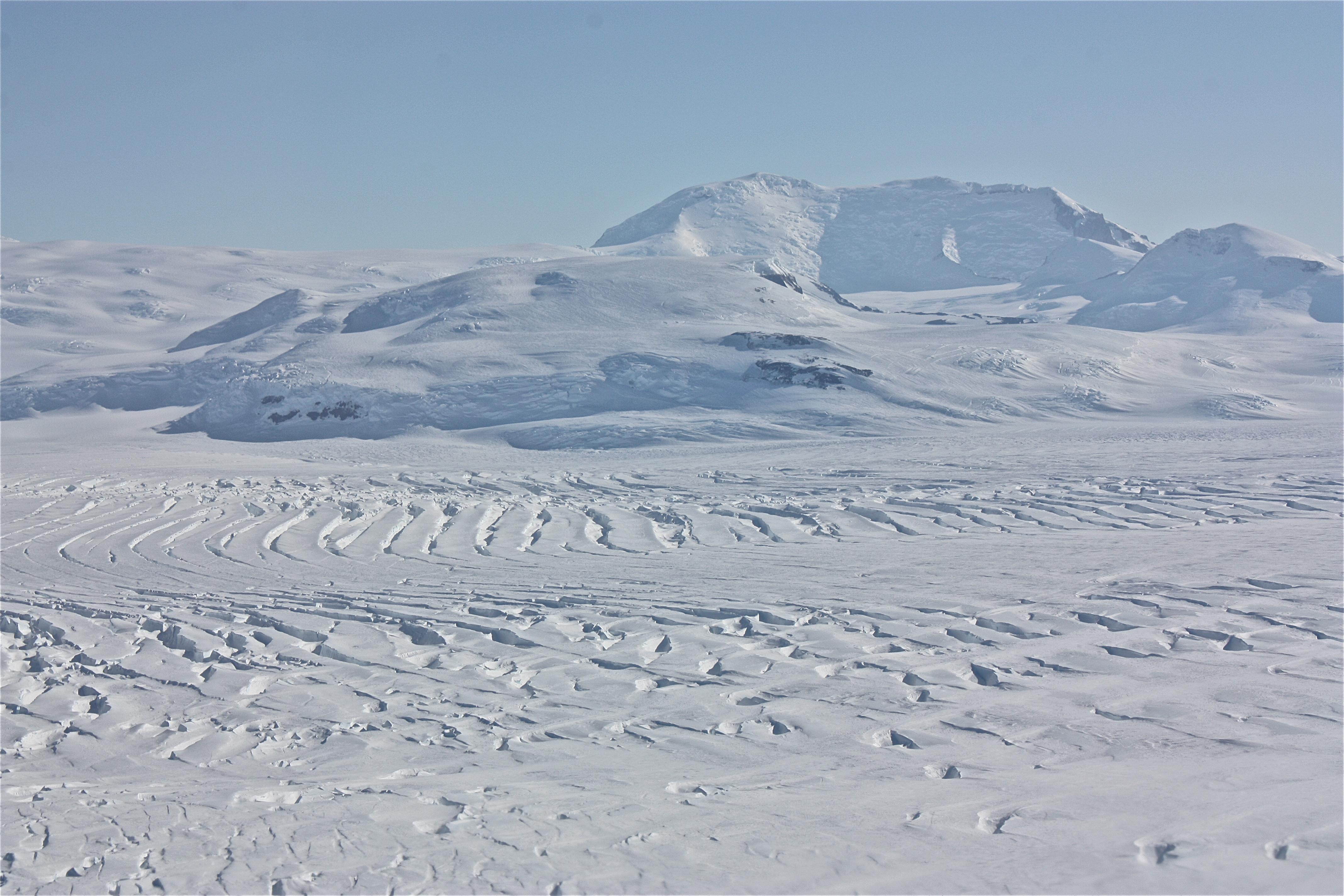
WikipediaMount Murphy (75°20′S 110°44′W) is a snow-covered mountain with steep, rocky slopes rising to 2,634 metres (8,642 ft) in Marie Byrd Land, Antarctica. It is directly south of Bear Peninsula and is bounded by Smith Glacier, Pope Glacier, and Haynes Glacier. Volcanic activity began in the Miocene with the eruption of basaltic and trachytic lava. Volcanism on the slopes of the volcano resumed much later during the Pleistocene, with a parasitic cone having been K–Ar dated to 0.9 million years old.
Best months
Hiking score 0–100 · 10-yr climate averagesRows beneath each bar: mean temperature, monthly precipitation. Highest-scoring month in red.