Record SL-611871 · Wikidata Q6737388
Maja e Thatë
No list classifications
Elevation
2,406
m
7,894 ft
Prominence
—
Isolation
—
Coordinates
42.4681° N,
19.8691° E
Grid ref
—
Description
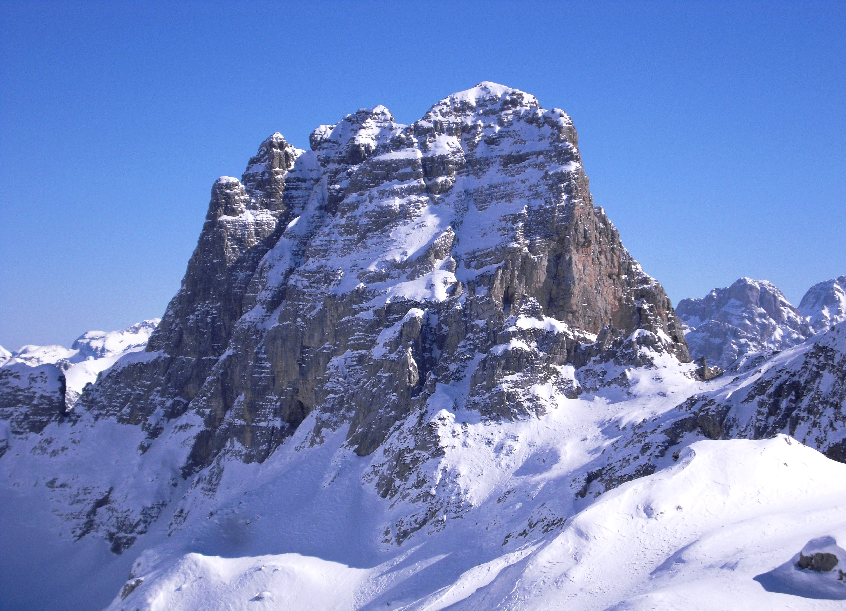
WikipediaMaja e Thatë (lit. 'Dry Peak') is a 2,406-metre-high (7,894 ft) mountain peak of the Albanian Alps (Accursed Mountains) in Albania. It is located within Valbonë Valley National Park, roughly 2 km (1 mi) northwest of Valbonë and rises more than 1,500 m (4,921 ft) above the village. The mountain's southern and western lower slopes are relatively rich in beech and pine forests, while the higher slopes consist of very steep dolomite and limestone rock walls, suitable for mountaineering and rock climbing.
Best months
Hiking score 0–100 · 10-yr climate averagesRows beneath each bar: mean temperature, monthly precipitation. Highest-scoring month in red.
Neighbouring summits
| Name | Elevation | Bearing | Distance |
|---|---|---|---|
| Maja Čaf Cezles 2446m | 2,446 m | N 357° | 1.6 km |
| Maja Podi e Rosit | 2,444 m | NW 332° | 2.0 km |
| Rosni Peak | 2,523 m | NW 310° | 2.0 km |
| Maja Shpine Bukur 2464m | 2,464 m | N 7° | 2.0 km |
| Maja Poshter 2442 m | 2,442 m | N 6° | 2.1 km |
| Maja e Cesles | 2,354 m | NW 324° | 2.1 km |