Record SL-843617 · Wikidata Q22007488
Maja e Skenderbeut
No list classifications
Elevation
1,314
m
4,311 ft
Prominence
—
Isolation
—
Coordinates
41.5833° N,
19.8333° E
Grid ref
—
Description
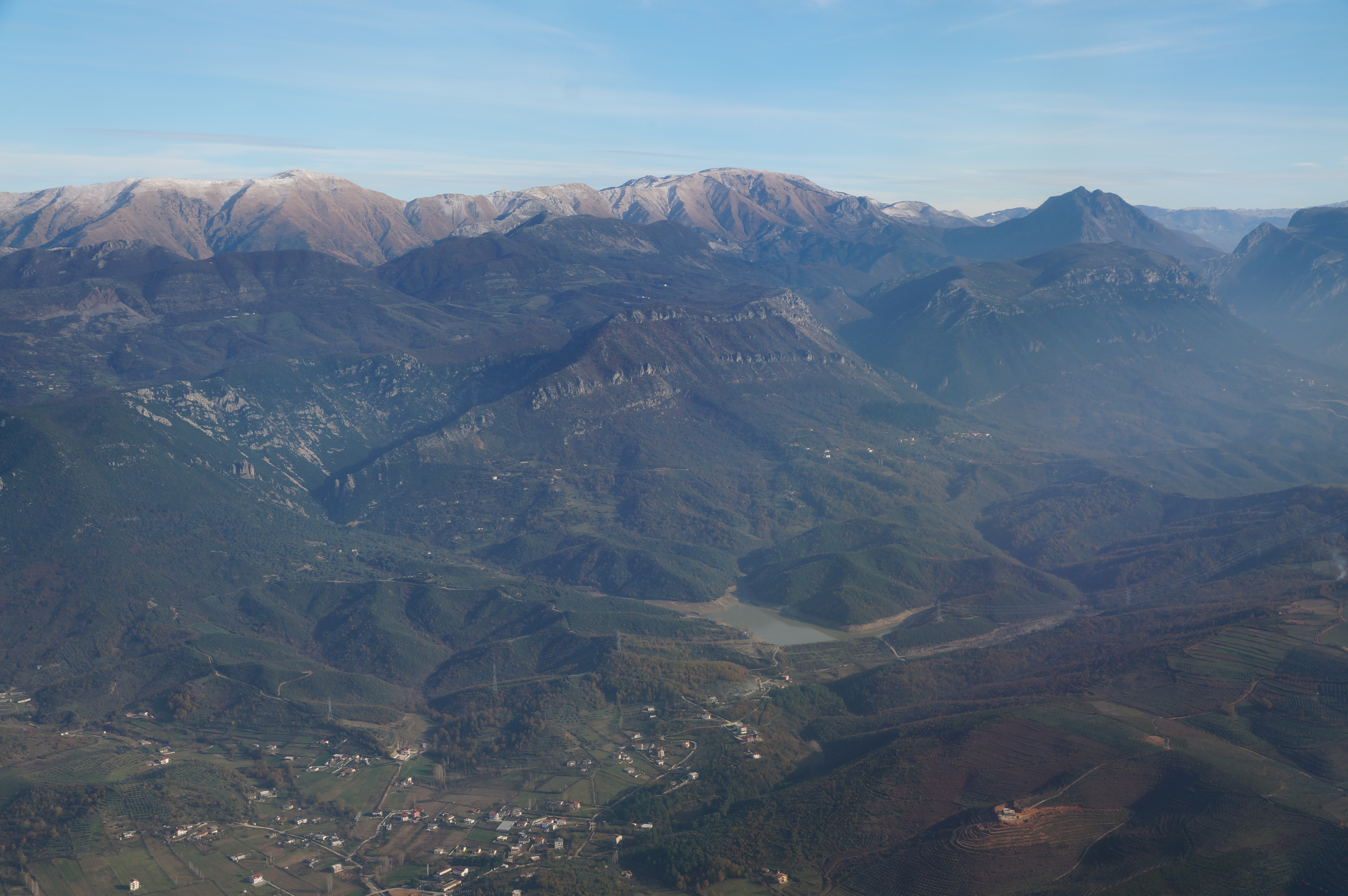
WikipediaMali i Skënderbeut is a massif located on the border between Krujë and Mat municipalities, in north-central Albania. It stretches from the valley of the Mat river in the north up to Qafa e Shtamës in the south, encompassing a length of 22 km (14 mi) and a width of 2–5 km (1.2–3.1 mi). Part of the mountain range with the same name, its highest peak, Maja e Liqenit, reaches a height of 1,724 m (5,656 ft).
Best months
Hiking score 0–100 · 10-yr climate averagesRows beneath each bar: mean temperature, monthly precipitation. Highest-scoring month in red.
Neighbouring summits
| Name | Elevation | Bearing | Distance |
|---|---|---|---|
| Vargmalet Perendimore | 1,254 m | S 180° | 1.9 km |
| Maja e Shengjergjit | 783 m | W 283° | 4.0 km |
| Maja e Pocit | 839 m | W 274° | 4.4 km |